Downieville Trail Map and Mt Hough Trail Map
The most current, waterproof map of this region. All proceeds support the trails. Buy it at the shop or buy the map online through the links below.
These maps highlight the varied terrain and world-class trails of the Downieville, Lakes Basin, Mt. Hough and South Park trail systems. It includes up-to-date and informative recreational resource for the area and features more than 100 miles of sweet Sierra singletrack.
Designations for motorized trails, non-motorized trails, the Pacific Crest Trail, historic trail alignments, and Forest Service 4x4 dirt roads are all present on this waterproof and tear resistant map.
Proceeds from maps sales go directly back into maintaining the trails.
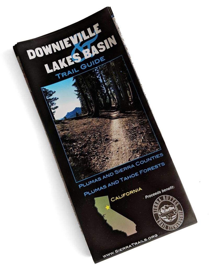
Downieville and Lakes Basin Map
This map highlights the varied terrain and world-class trails of the Downieville and Lakes Basin trail systems. New for the 2018 version; North Yuba River trails west of Downieville. And updated to v.4 winter 2020.
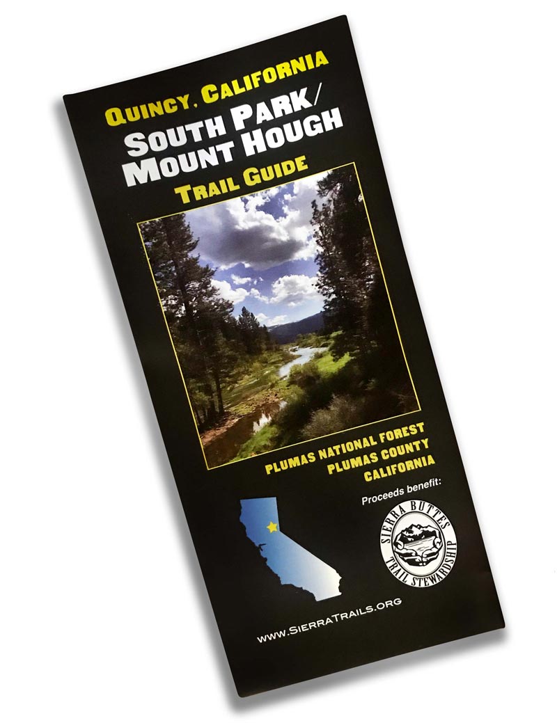
Mt. Hough and South Park - Quincy Map
Continually updated, this map highlights the varied terrain and world-class trails of the Mount Hough and South Park trail systems.
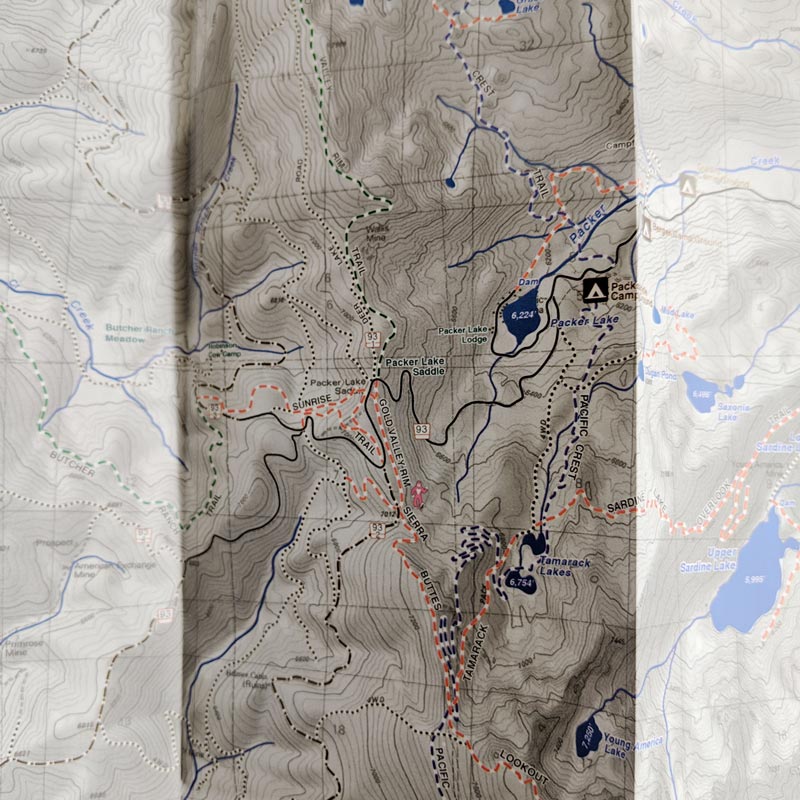
Map Detail
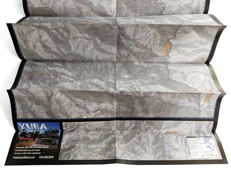
Map Open