
Trail Conditions Updates
Not sure what it open or running good? Check this page as we update the conditions weekly or when we get new beta
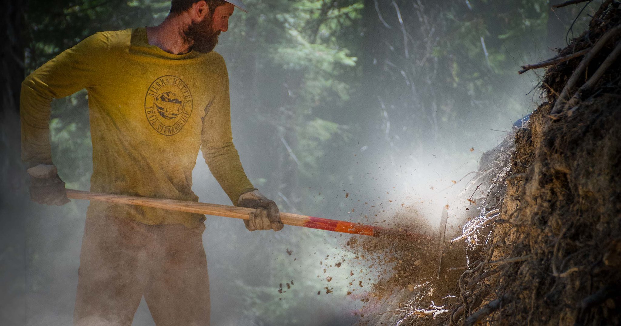
“Too Much Singletrack is Just Enough”
— Sierra Buttes Trail Stewardship
Mount Hough and South Park
Mt. Hough Trail Network
Constructed by the Sierra Buttes Trail Stewardship, the Mount Hough Trail Network consists of more than 50 miles of multi-use singletrack, with more currently under construction. Mt. Hough trail is the most popular trail in the network, with almost 4,000 vertical feet over 10 miles of flowy, fast singletrack and amazing dirt. Starting at 7,200 feet elevation above the emerald blue waters of Crystal Lake overlooking Genesee Valley, Mount Hough trail is fun for all ages and skill levels, featuring perfectly banked switchbacks, high-speed sections of trail with long sight lines, tabletop jumps for those who love air time and a perfect finish at a swimming hole on Spanish Creek.
Tollgate Creek, Indian Falls Ridge and Taylor Creek trails are new alignments providing variety and choices for shuttle runs.
All trails in the Mt. Hough network are on National Forest land, multi-directional and open to all trail uses.
Whether you shuttle with friends, shuttle with Yuba Expeditions or earn it the old-fashioned way by pedaling, the best way to the top is by taking Mount Hough Road (bumpy dirt road passable by car in summer months) from Quincy Junction/Chandler Road to the top. If you’re pedaling, keep left at the bottom of the singletrack at Oakland Camp, after crossing the railroad tracks, then head downhill on pavement to the swimming hole before the bridge over Spanish Creek on Oakland Camp Road, which is a great starting and ending point.
South Park Trail Network
A great cross-country style riding area with a few technical sections of narrow off-camber trail. Most of the trails in this area are old social build trails that have been adopted as system trails by the Plumas National Forest. With a different dirt composition and lower elevation than Mt. Hough, these trail remain ridable all year long. This trail network is non-motorized. It is ideal for entry level riders and quick rides.

Use this Trailforks interactive map to see more trail information and updates.
If you don’t have Trailforks already, click the link below to get a special 30% off your subscription. For every subscription we get $5 in donations!

Quincy Trail Conditions
The Mount Hough Trail
CLEAR
Upper Indian Falls Ridge Trail
CLEAR
Indian Falls Ridge 2 (Fins)
CLEAR
Lower Indian Falls Ridge Trail
5 trees down
Upper Tollgate Trail
CLEAR
Middle/Lower Tollgate Trail
CLEAR
Upper Acorn Grotto Trail
CLEAR
Acorn Grotto Connector Trail
CLEAR
Lower Acorn Grotto Trail
CLEAR
Kings Crossing Trail
CLEAR
Upper Taylor Creek Trail
CLEAR
Lower Taylor Creek Trail
CLEAR
Chandler Trail
CLEAR
Berry Creek Trail
CLEAR
Fireline Trail
CLEAR
Berry Creek Connector Trail
CLEAR
Huffleberry Trail
CLEAR
Taylorsville Connector
CLEAR
South Park
CLEAR
Updated 6/2/26
Highway and Road Status
Updated 5/29/26

For the most up to date road conditions and status, please visit Caltans’ website.
Highway 70 (Hallelujah Jctn to Quincy)
OPEN - Major construction delays between 395 and Quincy, 30 - 60 mins delay expected on weekdays.
Highway 89 (Truckee to Greaegle)
OPEN Major construction, up to 30 - 60 minis delay.
Oro-Quincy Highway (Bucks Lake Summit) CR414
OPEN
Gold Lake Highway CR519
OPEN
Laporte Road CR511
OPEN
Downieville Trail Conditions
Updated 5/29/26
Clear and fully open. Big May storm had brought lots of moisture to the network.
Sunrise Trail
CLEAR
Pack Saddle Flow Trail
CLEAR
Gold Valley Rim Trail
CLEAR
Butcher Ranch Trail
CLEAR
Pauley Creek Trail
CLEAR
Big Boulder Trail
CLEAR
Lavezzola Trail
CLEAR
Third Divide Trail
CLEAR
Second Divide Trail
CLEAR
First Divide Trail
CLEAR
Chimney Rock Trail
CLEAR
Empire Creek Trail
CLEAR
Cal-Ida Trail
CLEAR
Fiddle Creek- Halls Ranch
CLEAR
Mills Peak and Lakes Basin Trail Conditions
Updated 5/29/26

Mills Peak Trail
Clear
Graeagle Creek Trail
Clear
Mt. Elwell
SNOW ¼ mile of snow patches on the north side
Smith Creek Trail
CLEAR lower bridge is damaged
Long Lake Trail
CLEAR
Round Lake Trail
CLEAR
Jamison Creek Trail
SNOW patches at the top